Kugluktuk

Photo: Kelly Holben
Overview
Kugluktuk is a community of about 1,382 people (2021 census) located in the Kitikmeot region of Nunavut.
The hamlet shares the Mountain Standard time zone with Alberta and the Northwest Territories. To get there from southern Canada, you must first travel to Yellowknife then take a 3-hour and 45-minute flight to Kugluktuk with a stop in Cambridge Bay.
Highlights
Kugluktuk means place of moving water; the root word “kugluk” means waterfall. Upriver is the beautiful Kugluk cascade, also known as Bloody Falls, a fishing and hunting location that is now a territorial park of historic importance.
Kugluktuk is the westernmost community in Nunavut. The Inuit of Kugluktuk speak Inuinnaqtun — a slightly different language from Inuktitut. It is home to the Grizzlies Lacrosse team that in the late 1990s combatted suicide in teens by bringing them together through the sport.
Lacrosse is not the only sport enjoyed in the community. The Kugluktuk Golf Club has an 18-hole course located along the picturesque shores of Coronation Gulf.

Photo (Bloody Falls): Kelly Holben

Photo: Dave Bussieres
Weather and landscape
Located north of the Arctic Circle near the 68th parallel, Kugluktuk has a subarctic climate. For much of December, Kugluktuk sees no sunlight. There is 24-hour sunlight from the end of May to mid-July.
The average temperature in Kugluktuk is the warmest in Nunavut, sometimes rising to 30°C in the summer. Winter temperatures range from -15°C to -40°C.
Kugluktuk is situated on the Canadian mainland at the mouth of the Coppermine River where it feeds into Coronation Gulf, part of the Northwest Passage.
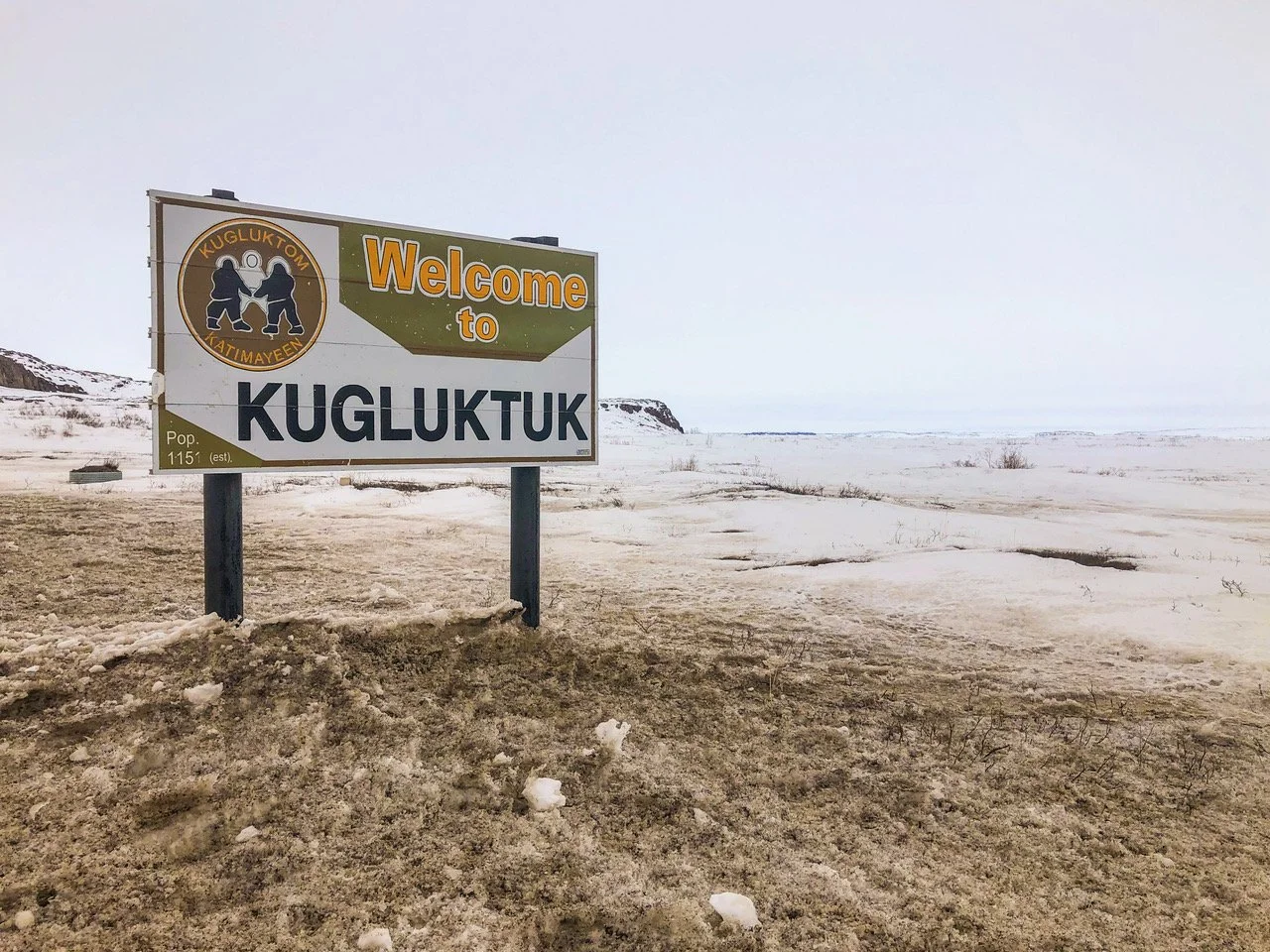
Photo: Dave Bussieres